California has already recorded 4,792 wildfires in 2023 alone, with many wildfires expanding across tens of thousands of acres. In order to reach their goal of suppressing 95 percent of wildfires when they are ten acres or less, the California Department of Forestry and Fire Protection (Cal Fire), is using an artificial intelligence-based program to detect fires across the state.
California’s AI Fire System
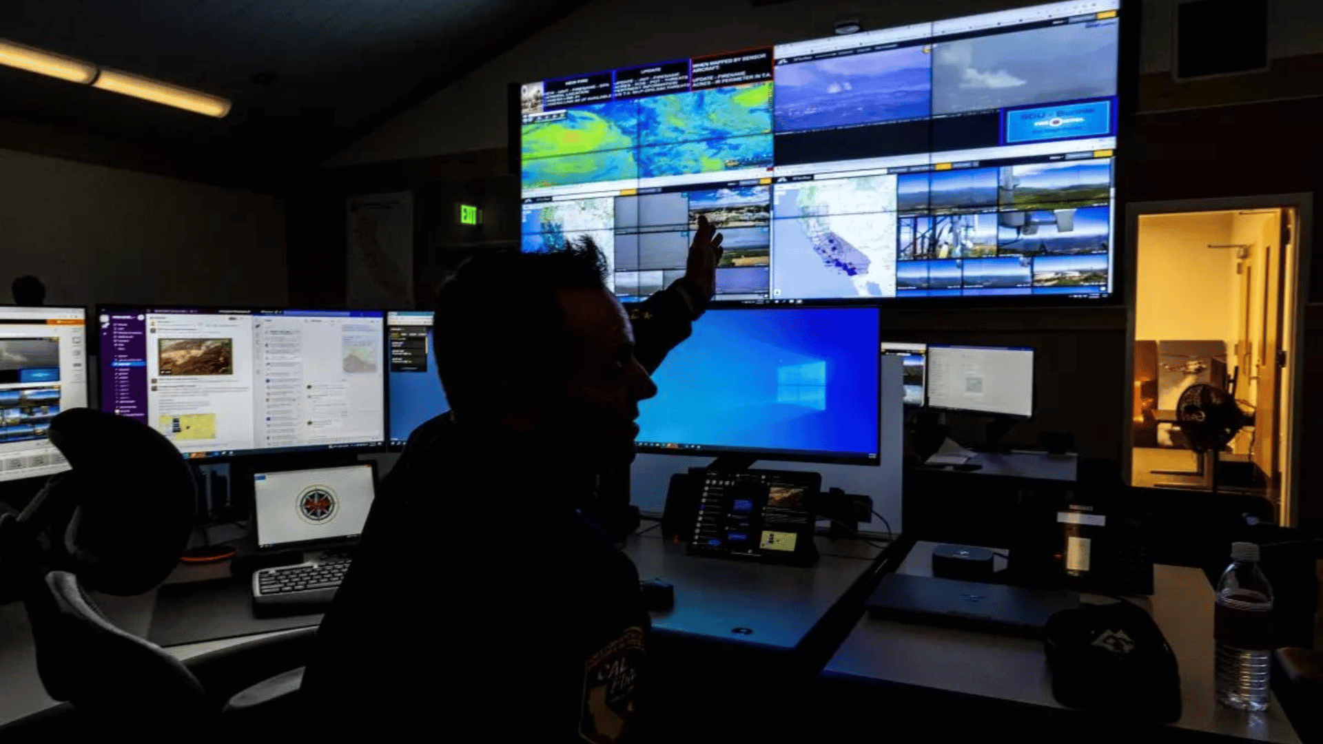
The AI project is operated by Cal Fire in partnership with UC San Diego’s ALERTCalifornia system. The system maintains 1,039 high-definition cameras in strategic locations throughout the state, with the cameras performing 360-degree sweeps approximately every two minutes. The AI constantly monitors the camera feeds in search of anomalies and alerts Cal Fire when it detects something in the form of a red box.
Officials then must confirm that the red box is highlighting smoke, rather than other anomalies such as fog and clouds. Because of the nature of AI, each time a Cal Fire official confirms that what the system has identified is indeed a fire, the system gets smarter.
The network includes fixed cameras and pan-tilt-zoom cameras with near-infrared night vision capabilities. Together, the cameras collect massive petabytes of data. Nearly the entire state is also mapped using LIDAR technology, which provides Cal Fire information about vegetation and fuel moisture levels, drought, tree mortality, and other landscape factors that can affect fire behavior.
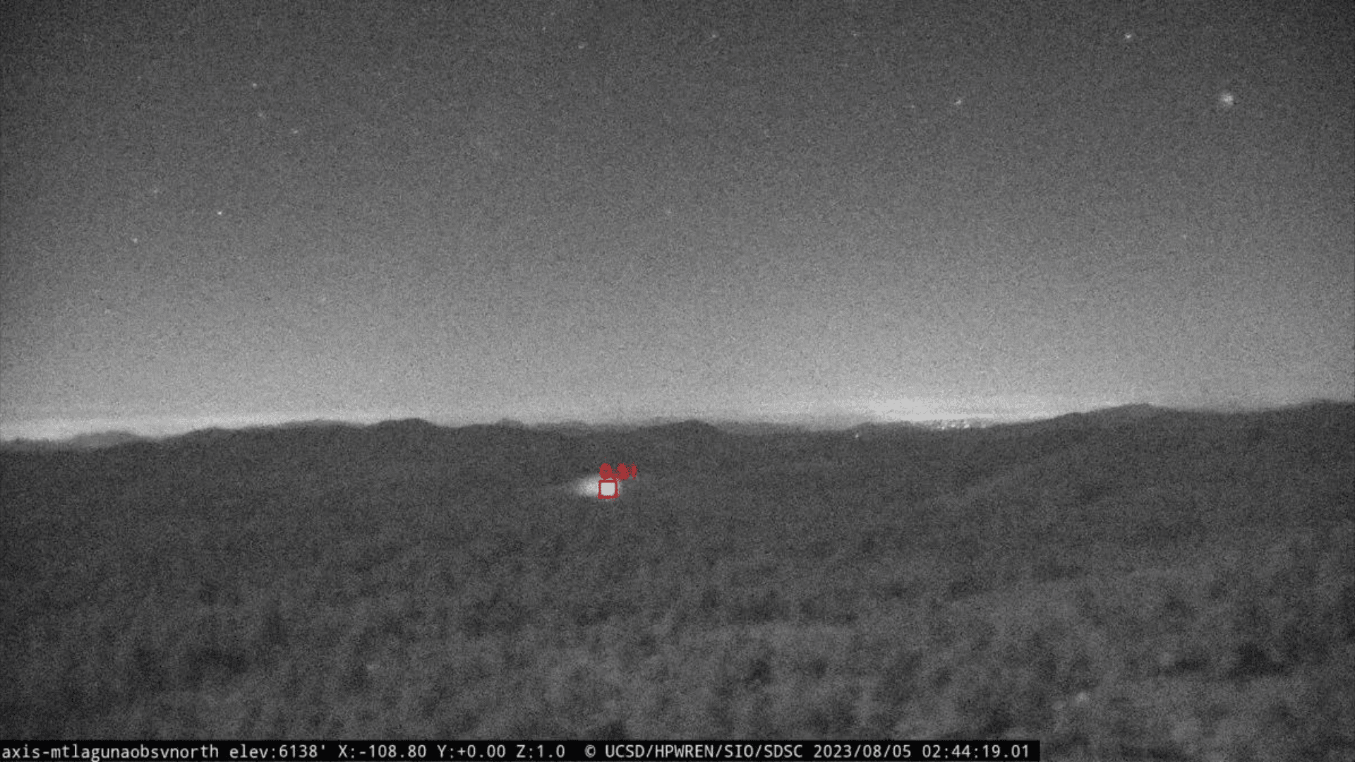
The project began this June in six Cal Fire emergency command centers. The AI system has already correctly identified 77 fires before any 911 calls were made about the incident. As Phillip SeLegue, staff chief of fire intelligence with Cal Fire, noted, “The success of this project is the fires you never hear about.” Based on the program’s success, it will soon roll out to all 21 centers.
Using AI for Science
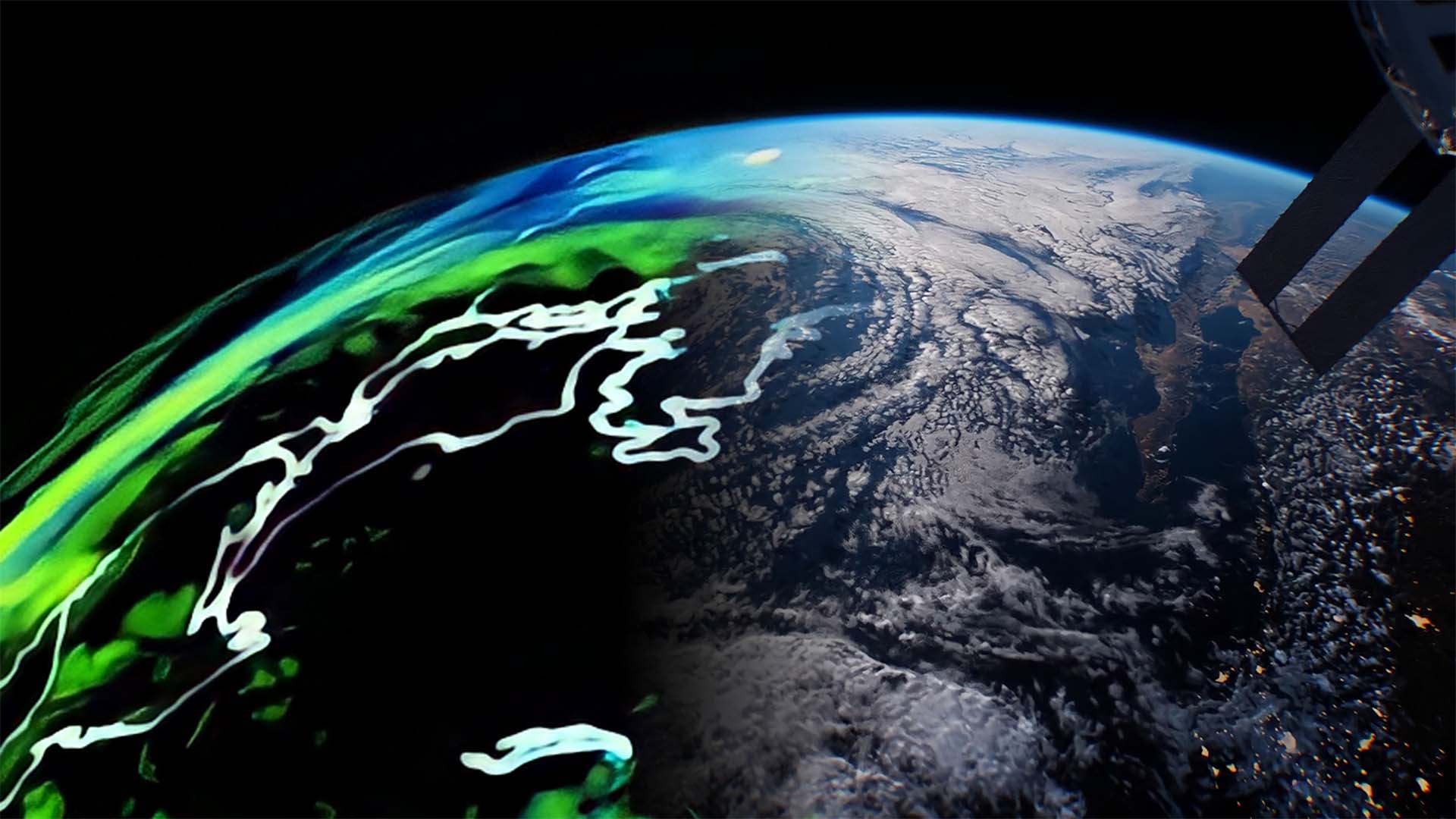
Artificial intelligence is also being implemented in similar projects. For example, Lockheed Martin and NVIDIA are creating an AI-powered digital twin of Earth’s atmosphere. The project, titled Earth Observations Digital Twin, will monitor current global environmental conditions and predict weather patterns.
Once the Earth Observations Digital Twin is up and running, NOAA will have access to a high-resolution, accurate, and timely depiction of global conditions. As Lockheed Martin research scientist Lynn Montgomery explained, “It’s going to be kind of a Google Earth-looking product, but it’s going to have all of these observations coming in at almost a real-time basis.”
Other hybrid AI models are similarly in development at universities and research labs, aiming to improve forecasts for a variety of weather and climate phenomena like lightning and heat waves.


